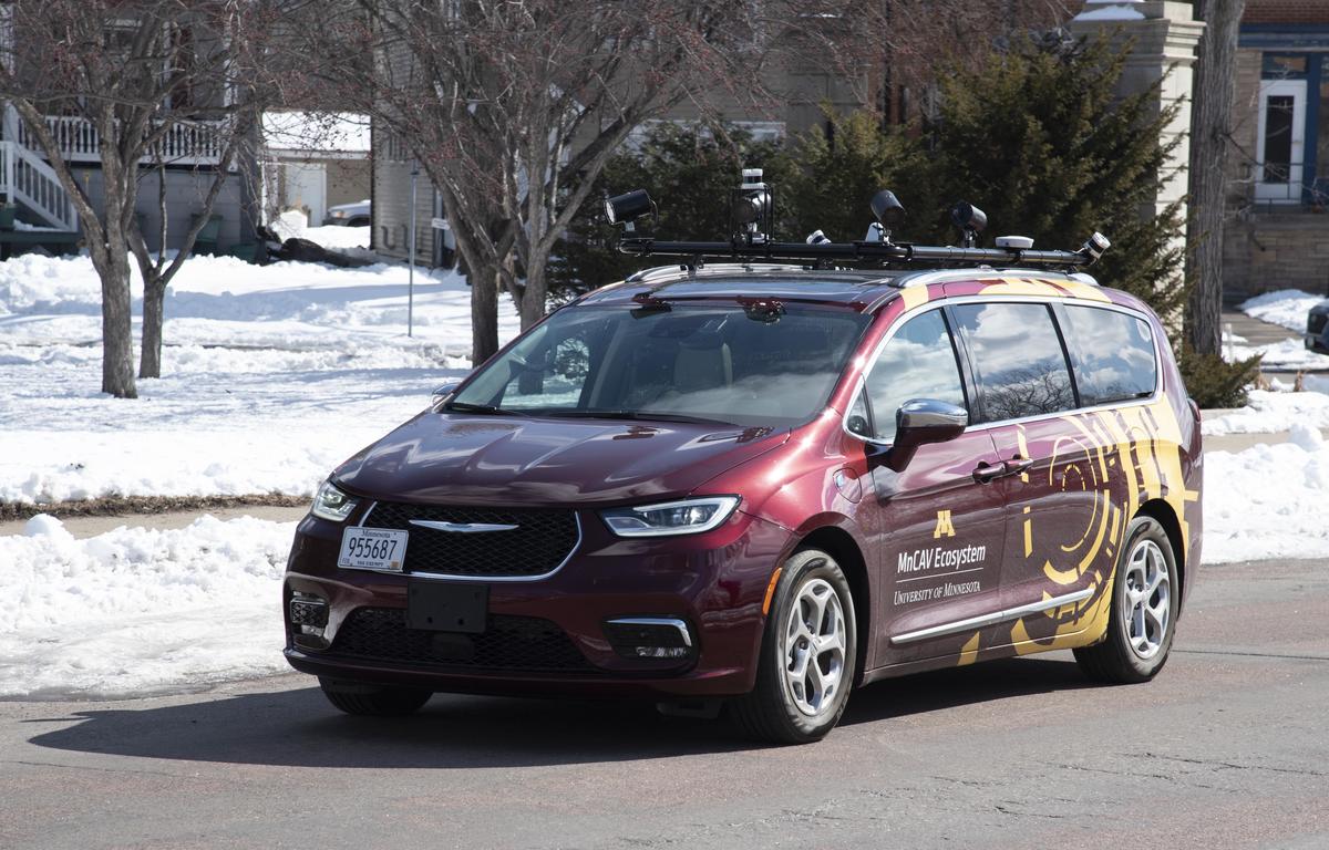
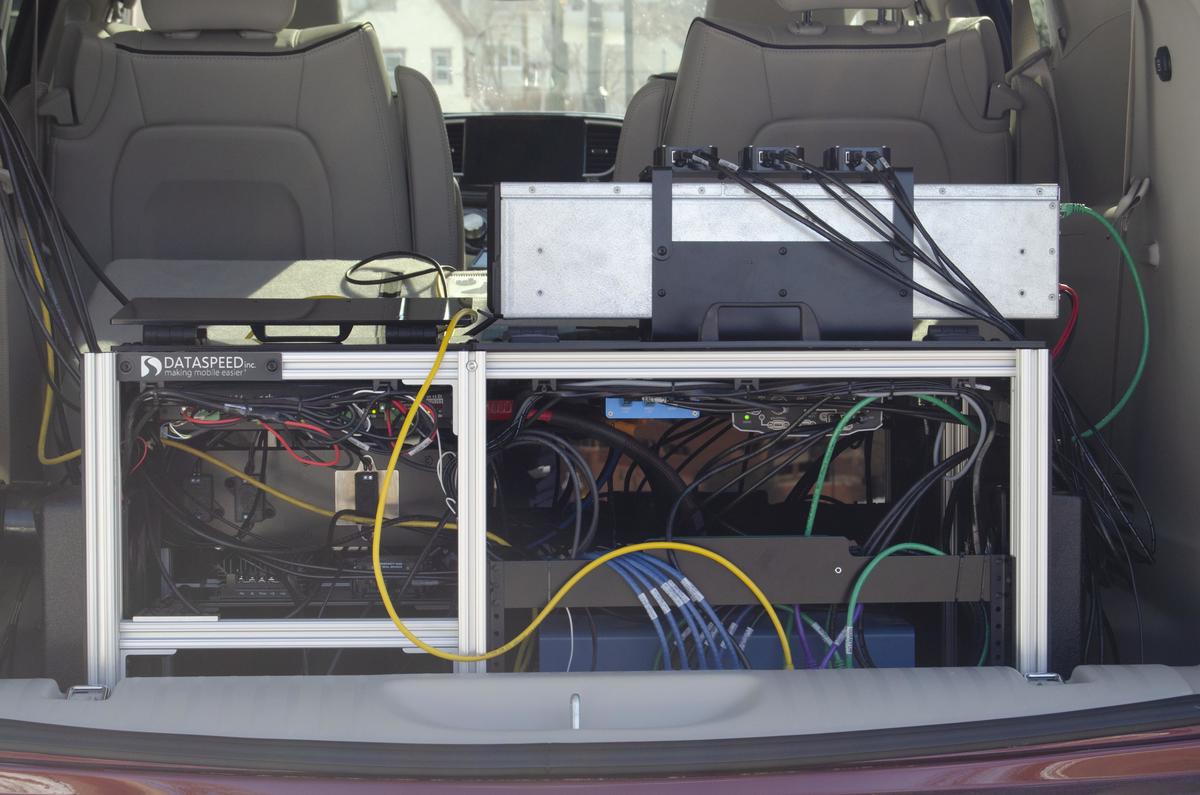
To support its work, the MnCAV Ecosystem has a connected and automated 2021 Chrysler Pacifica minivan that serves as a customizable, experimental testbed for CAV research, education, and outreach.
Automation Capabilities
The vehicle can navigate roadways and traffic without a human driver’s assistance—including making full turns and lane changes at highway speeds. Among the capabilities that make this possible are:
- steering control for lane-keeping
- automated lane changes
- radar-based adaptive speed control
- object and pedestrian detection
MnCAV Ecosystem research underway today involves a human pilot who sets navigation for the vehicle, monitors its performance, and takes manual control if needed. Pressing a button on the steering wheel engages the AV functionality, enabling the vehicle to read lane markings and determine the best position within the lane. When the turn signal is used, the vehicle senses for surrounding vehicles and the type of lane marking to determine if and when to safely switch lanes.
Future research projects will increasingly test “driverless” GPS-based navigation and integration of other systems to leverage various technologies to advance safety, equity, passenger experience, and operation in cold weather conditions
CAV System Components
Drive-by-wire system
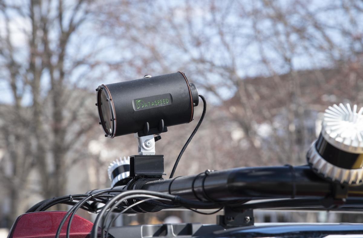
The Dataspeed Drive-by-Wire Kit contains the low-level hardware and software necessary to interface with and control the vehicle’s control inputs. This lets the computer give commands to control steering, braking, acceleration, and gear shifting.
Computer
The vehicle is equipped with a ruggidized computer mounted in its trunk that serves as the brain of the system. It receives and processes inputs from the vehicle’s sensors and converts those to control signals that are sent to the vehicle to direct its steering and speed. The software installed on the vehicle is based on the Robot Operating System (ROS)—an open-source meta operating system for robot control. The computer is connected to a storage system capable of storing 23 TB of recorded raw sensor data.
V2X Communication
Communicating with entities such as infrastructure and other vehicles is a critical aspect of connected vehicle applications. The vehicle is equipped with a Cohda Wireless DSRC radio receiver and transmitter capable of communicating with DSRC units located on other vehicles or mounted at the roadside.
Lidar and Radar
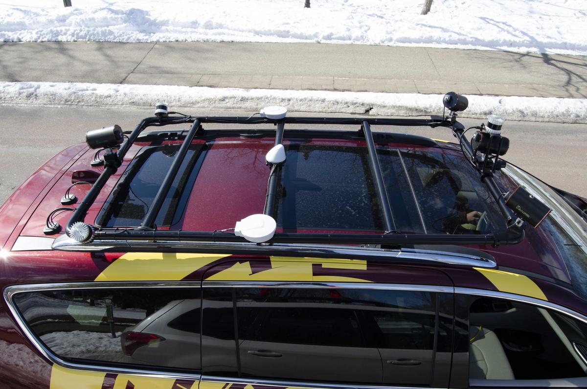
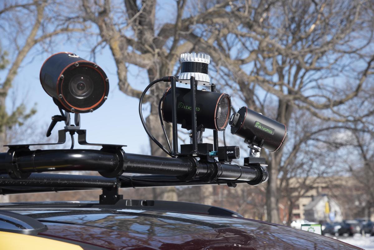
Lidar and radar are sensors that provide information about the geometry of the physical environment around the vehicle such as the presence, position, or speed of nearby vehicles, pedestrians, or roadside obstacles. The vehicle has a set of three Ouster lidar units mounted on its roof rack—a 64-beam unit near the front and two 16-beam units mounted near the rear. Continental radar sensors are mounted inside the front and rear bumpers.
Video Cameras
Video provides a great deal of information about the vehicle’s surroundings similar to how a driver’s eyes are key to enabling the driving task. Three forward-facing video cameras are mounted on the vehicle’s roof rack along with a thermal camera to enable better vision in dark conditions. A rear-facing video camera provides vision behind the vehicle. A camera-based Mobileye system provides real-time information about the presence and location of roadway lane lines, which is used by the computer system to determine the vehicle’s position within the lane.
GNSS
Global Navigation Satellite System (GNSS) is the general term for satellite-based positioning systems such as the Global Positioning System (GPS). The vehicle is equipped with a Novatel RTK-capable GNSS receiver that can provide absolute position information with an accuracy better than one inch.
